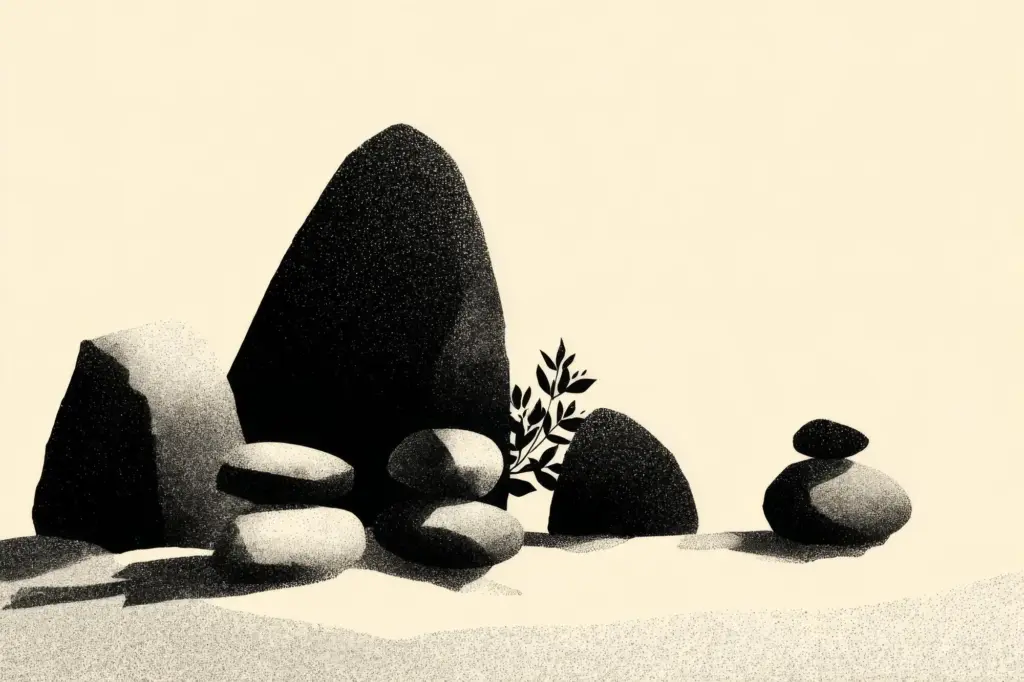
Small Steps, Deep Time
Today we celebrate Micro-Adventures on Ancient Trails, inviting you to fold wonder into ordinary hours by tracing Roman roads, pilgrim paths, holloways, and old drovers’ routes that thread through fields, towns, and ridgelines. Expect sunrise perspectives, pocket history, respectful footsteps, and stories gathered between gate latches and milestones. Pack lightly, move curiously, photograph attentively, and return home with a revived sense of place. Share your discoveries, subscribe for fresh route ideas, and help others find meaningful journeys close to home.
Finding Ancient Paths Near You
Train your eyes to catch subtle signatures left by centuries of feet and hooves: holloways carved deep by runoff and repetition, banks supporting veteran oaks, unusually straight alignments hinting at Roman intent, and packhorse bridges with smooth, bowed backs. A lone fingerpost, iron parish boundary plate, or lichen-draped milestone can anchor a confident decision. Pause often, compare viewpoints, and let small details sketch a route that feels unmistakably old under modern skies.
Layer tools to make hidden strands appear: paper Ordnance Survey Explorer sheets for field boundaries and rights of way, OpenStreetMap for community updates, historic overlays from national archives, and LiDAR visualizations that expose ridges, ditches, and embankments. Download offline tiles, pin likely connections, and save GPX tracks for easy retracing. Crosscheck signage on the ground against notation on the page, letting discrepancies spark gentle exploration rather than frustration.
Walk into a village museum, ring a parish clerk, or chat with a farmer leaning on a gate; stories surface where maps stay quiet. Old tithe records, estate surveys, and clippings mention lanes lost to hedgerow growth or redirected by modern roads. Pub regulars remember names long scrubbed from signage. Capture these fragments in a notebook, then validate them respectfully underfoot, turning rumor into route and history into a living, walkable line.
Packing Light for Big Feelings
Travel with intention, not clutter. A daypack should hold only what keeps you safe, warm, oriented, and present to fleeting magic. Choose versatile layers, compact essentials, and comforting touches that elevate short hours into lasting memories. Consider weight, weather, terrain, daylight, and your personal rhythms. Keep hands free for stiles and cameras, and leave room for curiosity, because the best souvenirs are insights and stories waiting at the next bend.


Sunrise on the Ridge
Arrive before first light where the path meets open sky, so daybreak paints barrows, standing stones, or Roman aggers in soft gold. Pack a warm layer and steady headlamp beam for calm footing. Notice skylarks launching early and frost tracing hoofprints. Keep the route compact, with bailouts back to buses or breakfast. Ending with hot coffee and a page of notes can set the tone for an entire, beautifully grounded day.
Lunch-Break Pilgrimage
Start near your workplace or home, choosing a brisk loop that kisses a historic waymark, crosses a packhorse bridge, or skirts a medieval boundary ditch. Eat slowly on a sunny bench, then walk intentionally back, counting steps between stiles as a moving meditation. These modest interludes stack like cairn stones through the week, building surprising fitness and familiarity. You return revived, carrying perspective that reorders the afternoon’s demands with steadier, kinder focus.
Tread Softly and Leave No Trace

Mud invites detours, yet stepping off path widens scars that take seasons to heal. Choose deep ruts over fresh grass, close gates carefully, and keep dogs under control around wildlife and lambs. Pack out litter, including orange peels and teabag strings. Brush dirt from boots before and after to prevent spreading invasive seeds. Small courtesies compound into visible care, proving that reverence can look like patience, tidiness, and steady, mindful placement of feet.
Sites, Stories, and Careful Curiosity

Respect burial mounds, stone circles, wells, and boundary trees as living archives rather than props. Read interpretation boards, learn local names, and avoid climbing fragile earthworks or rearranging rocks. If you discover pottery shards or coins, admire and report, never pocket. Laws protect scheduled monuments for good reason. Curiosity should expand insight, not collections. Bring offerings of time and attention, leaving only a fuller understanding that you can retell without thinning the place itself.
Share Wisely, Inspire Kindly
Celebrate experiences while shielding vulnerable locations by generalizing start points, cropping maps, or delaying posts. Teach route-finding skills rather than spoon-feeding coordinates. Credit knowledge holders, from community historians to park rangers. Invite stewardship days, litter picks, and trail maintenance volunteering. When you publish photographs, foreground textures, light, and feeling instead of precise geo-markers. The best recommendations kindle wonder and responsibility together, ensuring attention becomes a resource, not a pressure, upon cherished paths and communities.
Family and Friends on Foot
Invite companions of varied ages, abilities, and attention spans by curating short distances, frequent landmarks, and playful prompts. Share responsibilities—navigator, storyteller, snack captain—so everyone belongs. Choose routes with benches, gentle gradients, wide gates, and interesting textures underfoot. Pace with conversation and observation breaks. Turn questions into games, and worries into contingency plans. Return with shared pride, a few muddy knees, and a group memory bright enough to request an encore next weekend.
Capture and Share Your Journey
Preserve small moments so they can multiply. Photograph textures and light rather than only vistas; sketch corners of archways and hoof-polished steps; record a thirty-second soundclip of wind in ash leaves. Write a paragraph before bed while mud still scents your socks. Share reflections with care, invite route notes from readers, and subscribe for seasonal prompts. Storycraft turns a short walk into a lasting practice that deepens belonging every time you lace up.